Weather intelligence for safer flight decisions.
Zefyrio brings weather, wind, airspace, NOTAMs, radar, and operational flight limits together in one cockpit-style platform.
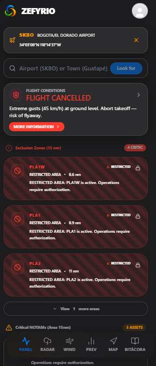
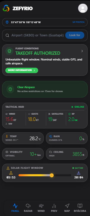
Designed for drone pilots and aviation users who need more than a weather forecast, Zefyrio transforms complex environmental information into clear GO, CAUTION, or NO-GO decision support based on the operation and aircraft profile.
Don't just check the weather. Understand what it means for your flight.
Final flight decisions and operational responsibility always remain with the pilot or operator.
Weather data is available.
Operational understanding is not.
Most weather applications present temperature, wind, visibility, and precipitation as isolated values. Pilots and drone operators face a different question:
What do these conditions mean for this specific flight, at this location, with this aircraft, and under these operating limits?
The answer may depend on:
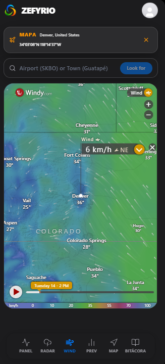
- Surface wind
- Gusts
- Wind at altitude
- Visibility
- Precipitation
- Cloud base
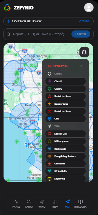
- Airspace restrictions
- NOTAMs
- Nearby traffic
- Vehicle limits
Zefyrio brings that information together and presents it from an operational aviation perspective.
One operational picture before takeoff
Zefyrio consolidates the information required for preflight awareness into one mobile-first interface.
Instead of moving between multiple weather, map, radar, airspace, and NOTAM applications, users can evaluate the most important conditions from a unified cockpit-style dashboard.
The platform does not simply display data. It evaluates that data against the active flight profile and highlights the factors that require attention before the operation begins.