Nodyt

03 Live
Zefyrio
Aviation and Drone Weather Intelligence
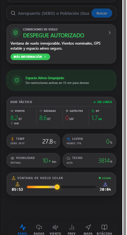
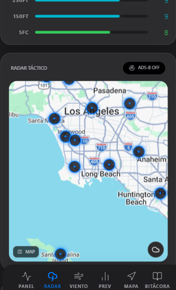
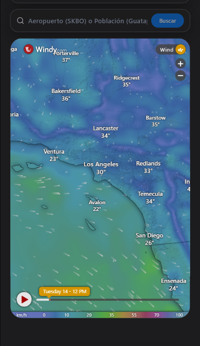
Zefyrio is an operational weather-intelligence platform designed to help drone pilots and aviation users understand how current and forecast conditions may affect a planned operation. It brings together METAR, TAF, NOTAM, radar, airspace, wind, and location-based weather information within a unified operational interface, with AI-assisted interpretation and GO / CAUTION / NO-GO decision support based on weather conditions and operational limitations. Final flight authority and decision-making remain with the pilot or operator.
Explore ZefyrioIn the app
What it does
- METAR and TAF
- NOTAM information
- Wind intelligence
- Airspace awareness
- Drone operations
- Decision support
Where things stand
Operational and available as an installable Progressive Web Application.